

Adventure Us: Hanging Rock Raptor Observatory
Hidden away on a mountain ridge at the end of a steep, windy – but beautiful! – drive west from Roanoke into West Virginia is an old fire-tower that has been converted into one of the best bird-watching stations in the region. Dubbed the “Hanging Rock Raptor Observatory,” this 3,812 foot high perch offers views of wilderness and wildlife that span hundreds of miles and two states.
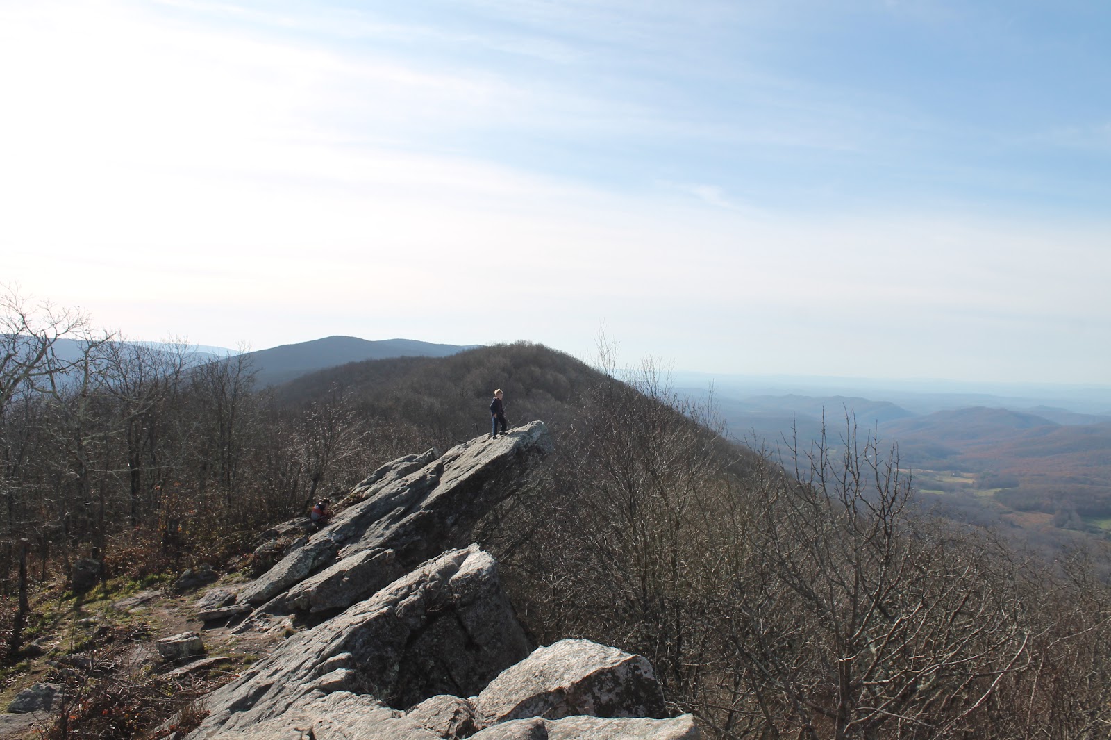
The observatory is accessible only by trail – a small, 0.9 mile stretch of the larger, yellow-blazed Allegheny Trail that stretches 330 miles from the nearby Appalachian Trail on the West Virginia/Virginia border to the distant Mason-Dixon Line on the Pennsylvania/West Virginia border. The first 0.1 mile of this section of trail above the Hanging Rock Observatory parking lot is quite steep and rocky, but once you’ve reached the Peters Mountain ridge summit, the trail levels out for the rest of the hike to the old tower. It’s a beautiful tromp through thick trees and over moss-covered boulders, but the true stunner is the quaint old wooden fire tower perched atop a jagged outcropping of Tuscarora Sandstone.

The tower is actively used year-round (as long as the road to the parking lot isn’t iced over!) by hikers and bird watchers, and you can find several brochures and other informational posters and charts inside the small building. A wrap-around porch offers views in every direction. And don’t forget to look up – the tower is along a north-south flyway for a wide variety of hawks and eagles. Currently, masks are required at the tower when others are present. A port-a-john is provided in the woods just beyond the tower.
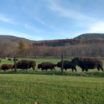
To reach Hanging Rock Raptor Observatory, head north on 311 out of Roanoke. Pass through New Castle, and for the shortest route, take a left in Paint Bank onto Waitville Road (County Route 600). Keep an eye out for dozens (hundreds?) of buffalo grazing in pastures on both sides of the road courtesy of Hollow Hill Farm. After about 11 miles, at Waitville, turn right onto Limestone Hill Road (County Route 15). Climb the winding road up Peters Mountain (about 4 miles) and at the top, look for the well-marked observatory parking lot on the left.

Alternatively, if you have just a few extra minutes and a large appetite, continue on 311 through Paint Bank into West Virginia, taking a left on State Route 3 just before the town of Sweet Springs. State Route 3 takes you through Gap Mills, passing by the Menonnite-owned Kitchen Creek Bakery and Cheese ‘n’ More Deli and Store just before Gap Mills (we can personally recommend the Pepperoni Rolls and the Strawberry Rhubarb Pie from the bakery and the Roast Beef sandwiches from the deli) and the Gap Mills Diner in the heart of Gap Mills (their tasty double cheeseburger is a full pound of beef!). Then proceed to the observatory via a left on Zenith Road in Gap Mills, following it for just over 3 miles to another left onto Limestone Hill Road. Limestone Hill Road will climb to the top of Peters Mountain (a little over 1.5 miles), where you’ll find the graveled parking lot for the observatory on the right.
Name: Hanging Rock Raptor Observatory, Limestone Hill Road (County Route 15), Union/Monroe County, WV
Time from Roanoke: 1.5 hours
Activity Options: Trails, Wildlife, Views, Tower
Nearby Food: Cheese ‘n’ More, Kitchen Creek Bakery, Gap Mills Diner (Gap Mills, West Virginia); Swinging Bridge Restaurant, Paint Bank General Store (Paint Bank, Virginia)
Nearby Attractions: Hollow Hill Buffalo Farm, Paint Bank General Store, Paint Bank Fish Hatchery
More Adventure Us
- Adventure Us: Roanoke area day trips, Part I
- Adventure Us: Roanoke’s Ice Cream Adventures

- Adventure Us: Grayson Highlands State Park
- Adventure Us: Snowflex
- Adventure Us: Addy Grace Playground

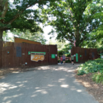
- Adventure Us: Mill Mountain Zoo
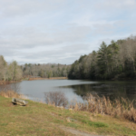
- Adventure Us: Little Beaver State Park, Beckley, WV
- Adventure Us: Science Museum of Western Virginia